

Planning a Project?
Whether you’re planning a new offshore development, processing geophysical survey data, or validating UXO results, our consultants can provide rapid technical insight and reliable project support. We offer tailored advice, project estimates, and technical reviews. Get in touch for your initial consultation.
Frequently Asked Questions
Every project is unique, and so are the questions that come with it. Didn’t find what you’re looking for? Our team is ready to help with tailored answers and expert guidance.
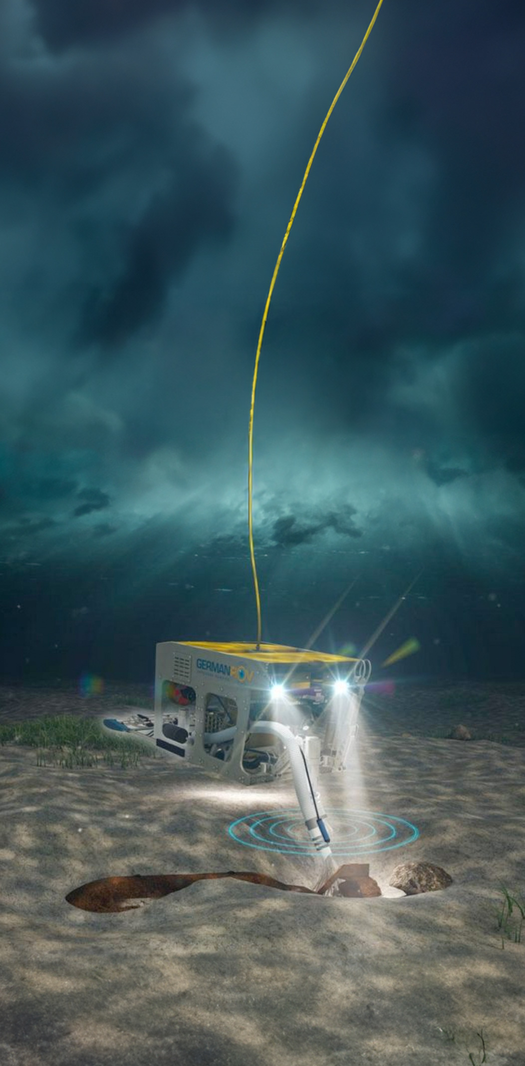
League Geophysics specializes in unexploded ordnance (UXO) detection and risk mitigation through advanced offshore geophysical surveys and interpretation. Using high-resolution magnetometers, side-scan sonar, and multi-sensor integration, we detect seabed anomalies with high precision. Our in-house data processing pipeline includes frequency filtering, positioning corrections, and classification algorithms to differentiate UXOs from benign targets, reducing false positives and optimizing clearance efforts. Final deliverables are GIS-compatible and include location accuracy, classification confidence, and depth estimates. All work is performed according to industry best-practice standards and in collaboration with certified UXO consultants, ensuring safe, efficient, and compliant offshore operations.
League Geophysics conducts a wide range of offshore geophysical surveys, including UXO detection, seabed mapping, and cable routing surveys. Using high-resolution tools such as side-scan sonar, magnetometers, and sub-bottom profilers, we accurately locate both buried and exposed cables, even in complex or congested seabed environments. By combining these results with quality-controlled geodata, we produce reliable maps, risk assessments, and decision-support information to aid safe navigation, construction planning, and environmental protection.
Yes, our team ensures that geophysical datasets meet all technical and project-specific requirements. We perform in-field quality checks during acquisition and can evaluate previously collected data for consistency, completeness, and usability. Using proprietary scripts and processing tools, we automate data validation, gap analysis, and anomaly classification. Workflows are tailored with clients to ensure deliverables meet project goals, and final datasets are provided in industry-standard formats ready for integration into operational or regulatory systems.
League Geophysics provides advanced GIS services focused on spatial analysis and high-quality data visualization. We design custom map layouts, thematic layers, and GIS templates for platforms such as QGIS and ArcGIS to improve clarity, usability, and decision-making. Our in-house GIS database management systems can organize over one million geospatial objects while maintaining metadata integrity and historical records. We also develop custom GIS tools that streamline workflows, reduce manual steps, and ensure reliable geospatial analysis across large offshore and marine projects.
Pricing is determined on a project-by-project basis, taking into account factors such as survey scope, duration, personnel, and data processing requirements. Rather than offering standard rates, League Geophysics provides tailored quotes to ensure clients receive the most appropriate solution. Please contact us to discuss your project and obtain a detailed estimate.
Edge computing enables real-time processing and analysis of survey data directly on-site, such as aboard a vessel, rather than relying solely on remote servers. League Geophysics offers edge computing solutions as part of our offshore survey capabilities, allowing faster decision-making, reduced operational downtime, and enhanced efficiency. By processing data at the source, our clients can respond immediately to geophysical findings, optimizing offshore operations and minimizing delays.
League Geophysics contributes to defence projects by providing specialized geophysical solutions and offshore monitoring systems. Examples include critical infrastructure security with multi-sensor buoys and autonomous underwater vehicle navigation systems capable of detecting magnetic anomalies such as UXOs. Our defence expertise is tailored to sensitive operations, and we encourage interested parties to contact us directly to discuss how our technical capabilities can support specific security or operational requirements.
League Geophysics contributes to defence projects by providing specialized geophysical solutions and offshore monitoring systems. Examples include critical infrastructure security with multi-sensor buoys and autonomous underwater vehicle navigation systems capable of detecting magnetic anomalies such as UXOs. Our defence expertise is tailored to sensitive operations, and we encourage interested parties to contact us directly to discuss how our technical capabilities can support specific security or operational requirements.
Yes, League Geophysics provides professional data processing and interpretation for surveys conducted by third parties. Our services include data cleaning, mapping, reporting, and geophysical analysis, transforming raw datasets into actionable insights. We ensure results meet technical standards and client requirements, supporting decision-making and operational planning across offshore, defence, and development projects.
No, clients do not need to purchase equipment when hiring League Geophysics. We either provide the necessary equipment directly or arrange leasing through trusted third-party suppliers, ensuring seamless access to the tools required for each project. Equipment rental is also included in the project quote, allowing clients to focus on project planning and execution without the worry of unexpected costs.
Founded in 2018, League Geophysics has built a strong reputation for delivering high-quality geophysical services, with a focus on UXO detection, offshore survey work, and data processing. Our commitment to precision, innovation, and integrity ensures projects are delivered on time, exceeding client and partner expectations. In 2022, we launched our sister company, Seekable, to develop advanced cable tracking solutions and further expand our capabilities in marine geophysics.